Access: 60 km from Mount Barker (WA). Park your car or pushbike at the Talyuberlup Picnic Area, on the Stirling Range Scenic Drive (nice gravel road, suitable for 2WDs).
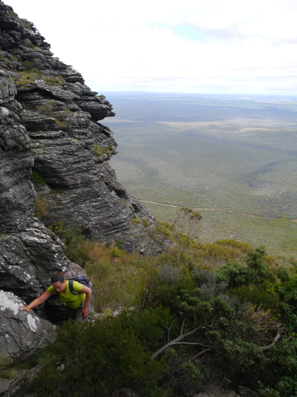
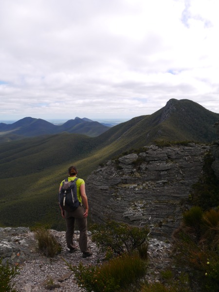
This popular walk begins with a slight ascent which quickly becomes very steep, as the track ascends straight to the cliff face. At the cliff face the track is lush with vegetation as it follows the base of the cold cliff up to a fallen overhang forming a short tunnel cave where the track goes through. At the cave exit turn right and descend slightly before ascending steeply. At the top follow the faint track in an arc to the right for 50m to get to the summit where majestic views will reward you.